Innovation in humanitarian mapping

Imagine a map which contains in-depth, community-specific data beyond the mere physical landscape of a place. Imagine a new mapping method which fills in the gaps left by GIS (Geographic Information Systems) or aerial photography. Imagine a new way to visualise local knowledge, to better inform humanitarian work.
On 19 and 22 July, two workshops were conducted by the Nepal Innovation Lab. This Lab, established as part of World Vision lnternational Nepal Earthquake Response, is a place for new ideas, products, technologies, and processes to be developed and tested towards the goal of achieving breakthroughs in disaster response, both for Nepal's recovery from earthquake and for the humanitarian sector.
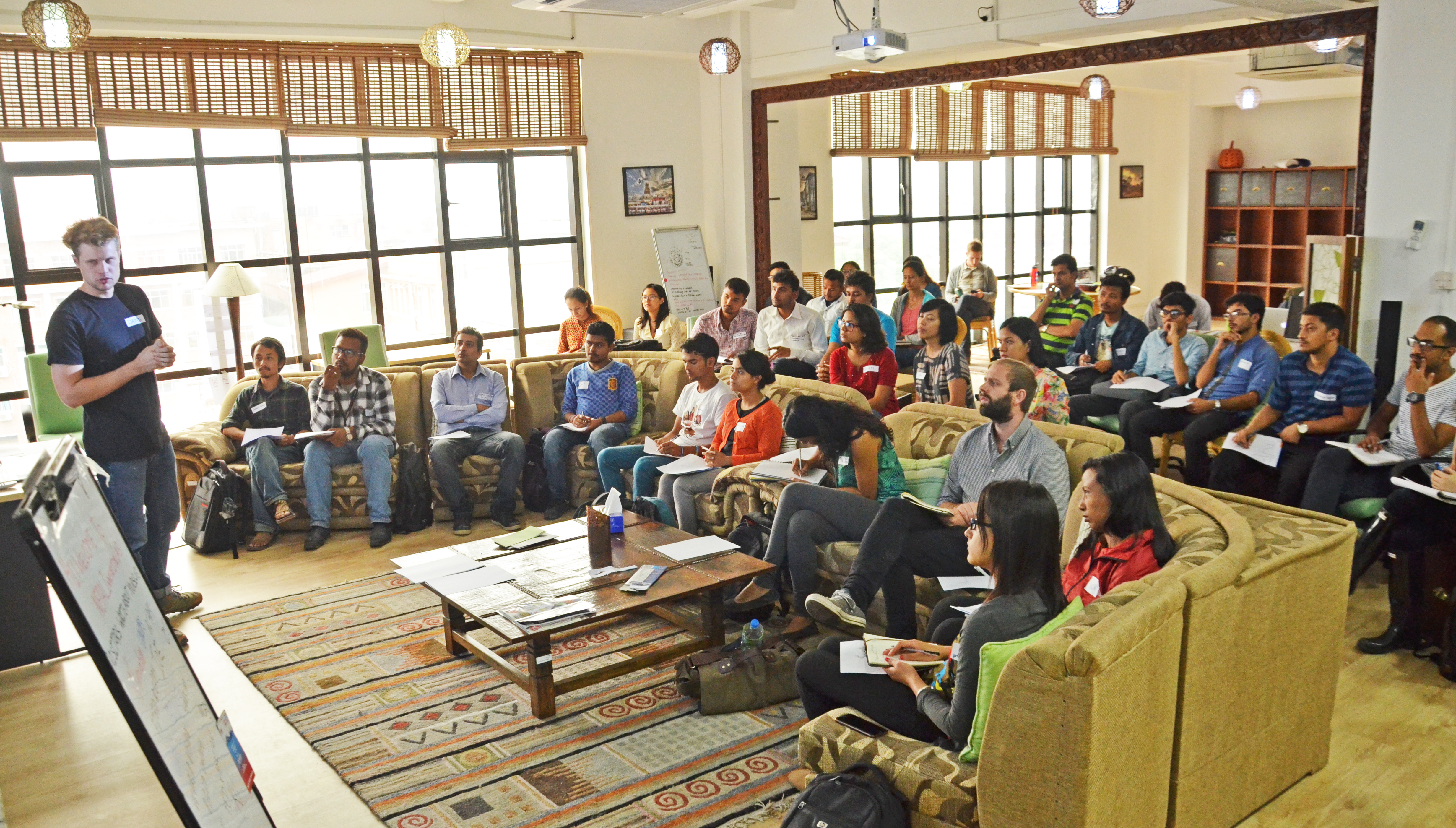
In these workshops for humanitarian professionals and young innovators, Dane Carlson, researcher and resident of the Lab, shared his new method for mapping communities to inform the work of humanitarian responders. His findings about his extensive field work at the intersection of culture and environment in Langtang and Gorkha, which resulted in a new mapping toolkit which goes beyond the capabilities of GIS or aerial photography was a highlight. This came as a result of him spending time with communities significantly affected by disaster and working with community members to map the landscape.
Landscape is not limited to physical elements like trees, mountains, water and soil but also elements that exist at the intersection between culture and environment. These include harvest patterns, livestock movement patterns, temporary inhabitation, migration routes, tourist trekking routes, sacred places, rituals and festivals. Landscape is not merely a physical practice but also a cultural practice.
The mapping approach will help to build a better understanding of how someone sees their world and how they have been directly affected by disaster. There is a need to understand complexities of a place and the specific context of a community, for example - even in Langtang valley, we can look at the whole valley but every settlement in the valley has its unique individual character such as its elevation, crops and animals. Each settlement is vastly different to the next. Dane shared, "The purpose of this work is to give agency to local knowledge, documenting that in community-specific context, and the result is to provide a new resource to humanitarian professionals developing or implementing programs on the ground."
GIS maps, which are a very critical part of humanitarian work, have certain limitations. When one goes to the level of a specific village, GIS maps tend to lack data resolution: this is the exact gap which this new mapping method proposes to bridge.

Sajal Pradhan, Managing Director at Best Paani and a participant of the workshop said, "I learned how cultural sensitivity can change the value of a map. Another remarkable thing is how you can add new dimensions in mapping that you normally do not find on a 2D or 3D map."
Rewati Raman Dhakal from Youth Vision Nepal and another participant remarked, "I received a diverse insight in mapping considering the cultural and sociological aspects of a place."
Learn more
As a follow on from the workshop, Dane is developing a field toolkit that can be used as a set of guidelines to assist people in creating their own maps. If you would like to know more about Dane's work you can contact him at danegcarlson@gmail.com.
The Nepal Innovation Lab will continue to organise events presenting inclusive and innovative solutions for humanitarian action. So please stay in touch if you would like to participate or work with us and contact Sebastien Maupas at sebastien_maupas@wvi.org.